Project
Drone Survey
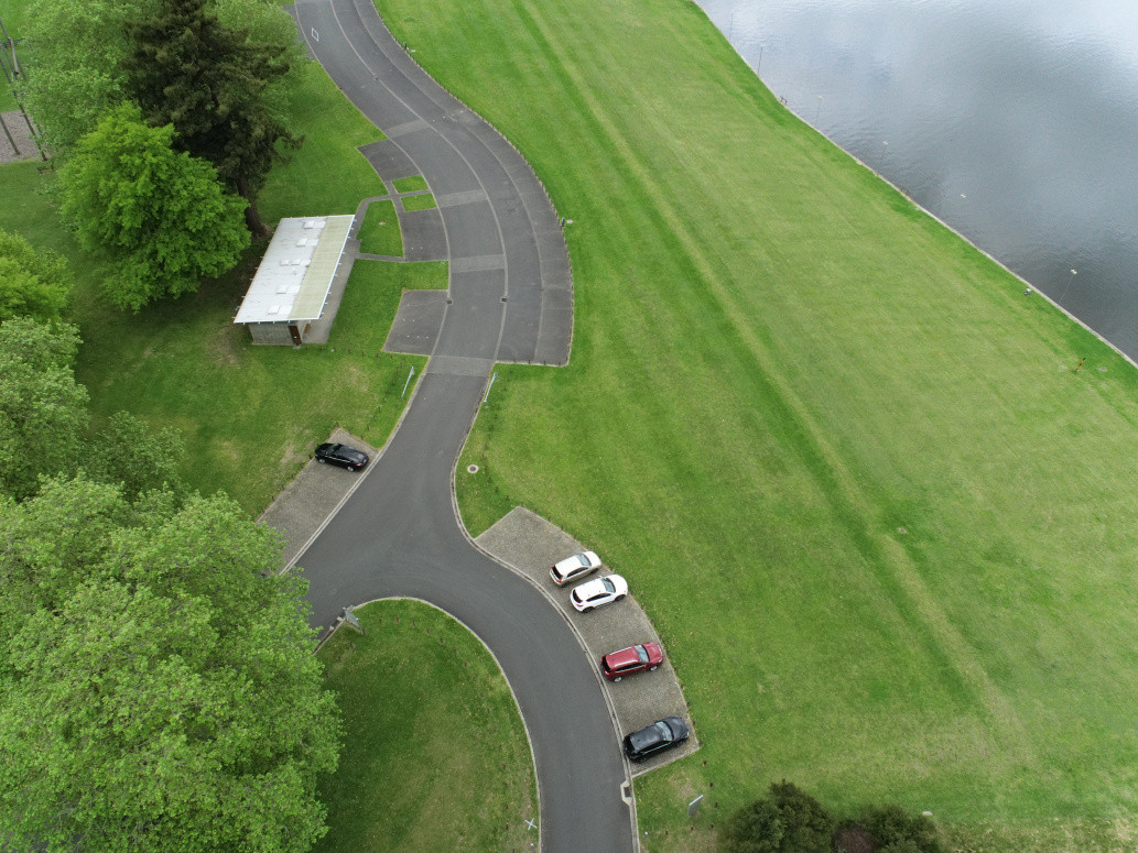
Project description
Drone, is one of the best tools for surveying which can provide precise horizontal and vertical information as well as a high resolution visualization of the site. We can provide high resolution site images and topographical plans using drone survey.
Last updated on 14-12-2022